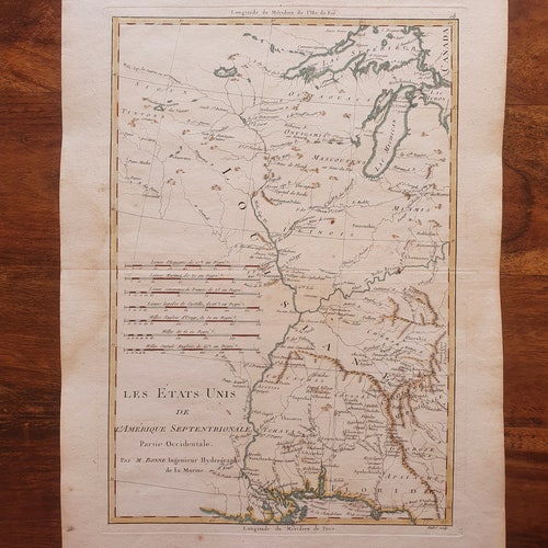

1762 hand-colored engraving - Maps - The US of North America Western Part (Illinois, Carolina, Georgia, ) - Atlas selling R. BONNE
selling RIGOBERT BONNE – ATLAS - GEOGRAPHICAL MAPS
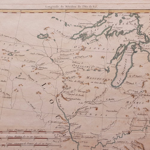
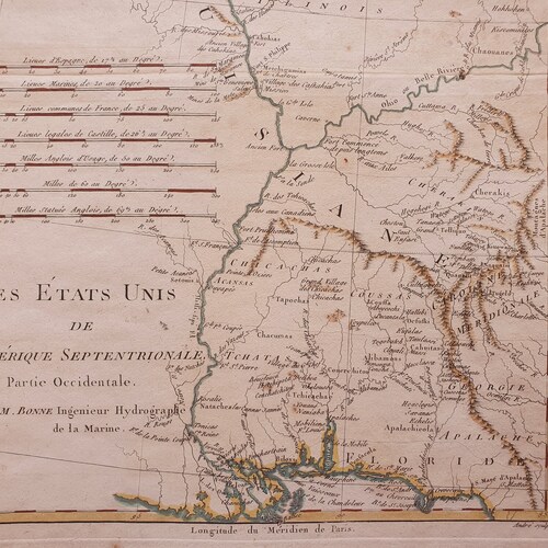
The United States of North America Western Part (Canada, Lake Michigan, Illinois, Louisiana, Carolina, Georgia, Appalachians, Florida)
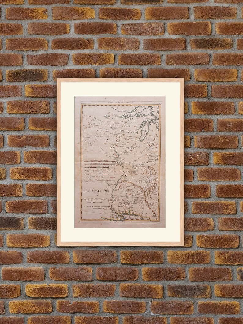
**Frame and mat not included**
An engineer at 18, he served in the army of Flanders before devoting himself solely to mathematics and cartography. He became the King's cartographer and took over from Rizzi-Zannoni. He defined the projection that would bear his name and produced maps for the methodical encyclopedia and the history of Father Raynal's travels. His main work will remain " atlas moderne ou collection de cartes de toutes les parties du globe terrestre" (modern atlas or collection of maps of all parts of the terrestrial globe) Paris, 1762.
We provide high-quality pictures so you can notice each detail of the prints. Please watch them carefully so you won't miss any potential imperfection.