

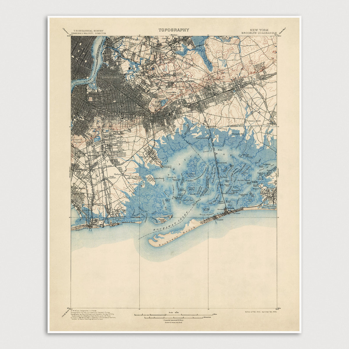

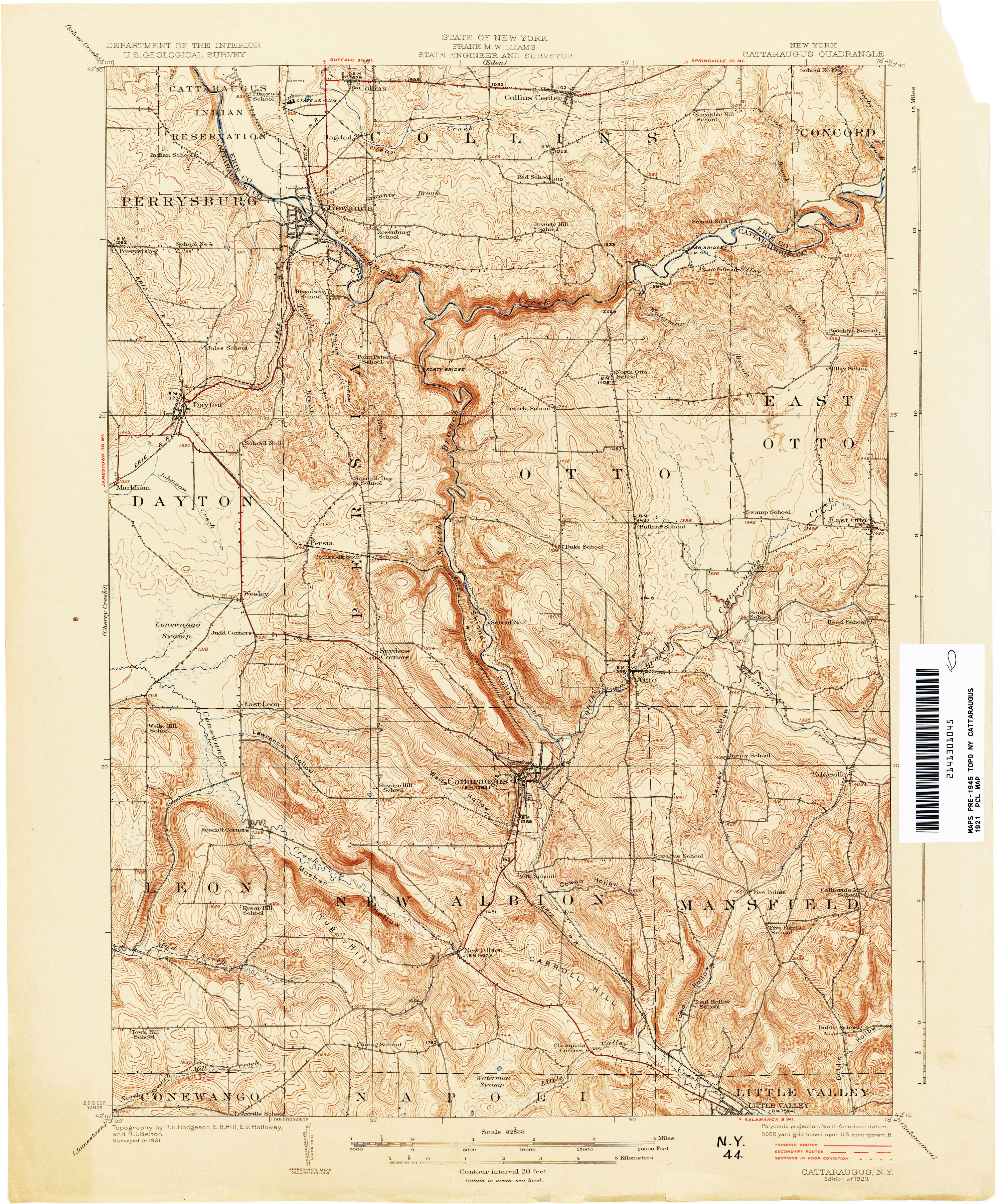
Antique Binghamton, New York selling 1961 US Geological Survey Topographic Map – Susquehanna, Broome County, Dickinson, Vestal, Conklin, SUNY, NY
selling Beautiful, antique map of Binghamton West, New York and surrounding Susquehanna County and Broome County areas. This is an authentic 1961 edition, 1964 print from the U.S. Geological Survey and NOT a computer reproduction.
See what New York looked like over 60 years ago. Lots of intricate details and geological contours. Map even has little squares for every house that existed at the time. The USGS cartographers were very thorough back then!
Perfect for the historian, map-lover, the curious or just as a conversation starter. Wonderful and rare. Vintage maps such as these make great gifts.
Edition of 1961, printed 1964
Dimensions: 22" width x 27" height
----
Features
Cities & Towns: Dickinson, Vestal, Conklin, Union, Oakdale, Westover, Willow Point, Sunrise Terrace, Kirkwood, Stella, Mountain Top Grove, Hawleyton, Park Terrace.
Points of Interest: Harpur College, Binghamton General Hospital, South Mountain Park, Ross Park, Ely Park, Lourdes Hospital, CFJ Memorial Bridge, Crocker Island, Ingraham Hill, Table Rock Ridge, Pierson Hill, Wildcat Hill, Brady Hill, Bayless Creek, Pierce Creek, West Fork Little Snake Creek, Sugar Creek, Susquehanna River, Chenango River, Fuller Hollow Creek, and many more hills, streams, ponds, houses, schools, railroads, churches and roads.
Condition: Good Vintage condition, commensurate with age. This map is in great shape for being over 55 years old. Has some staining on the right hand margin but will read as character when framed.
----
We will happily adjust shipping price for multiple purchases. Maps are rolled up and shipped in sturdy mailing tubes, never folded.